Bra podcast
Sveriges mest populära poddar
S2 Ep5: Venice to Japanggu: Fra Mauro's World Map with Mike Yamashita
33 min •
26 mars 2025
Mike Yamashita is a distinguished photographer with over 40 years of experience working for National Geographic. Among his stunning collections of works that capture landscapes, peoples, and animals, Mike filmed two documentaries about Marco Polo for National Geographic in 2004 and 2022.
In this episode of What's Your Map, Mike and Jerry explore Fra Mauro’s legendary world map from 1450. Measuring two metres across, this astonishing record of ancient trade routes, territories, ships, and cities was painted on vellum in vivid colours over a ten year period. One of the most important sources of information for the map was Marco Polo’s book.
Michael recounts his voyages in the footsteps of Marco Polo, from the original copy of the map in Venice through war-torn regions into Asia. He also reflects on his own remarkable journey as a photographer, including his family’s recent history as Japanese-Americans during the Second World War.
To see a high-definition image of the map as it is discussed, go to: www.oculi-mundi.com/podcast
-
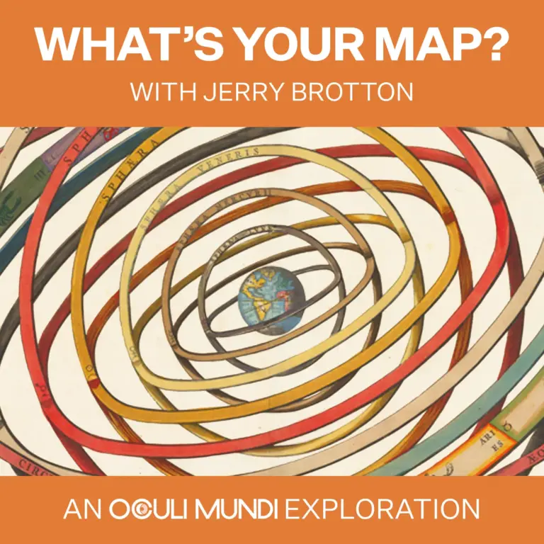
From historians, scientists and writers to creatives and cultural custodians, people have used maps as a source of knowledge, guidance, and inspiration for centuries.
Join award-winning expert Professor Jerry Brotton as each episode he invites a guest to share a map close to their heart - and unfurl the ideas, inspirations, and stories behind it. If you’re fascinated by history, art, adventure and culture, why not become part of a global community of fellow explorers as we ask - What’s your map?
What’s Your Map? is brought to you by Oculi Mundi (‘eyes of the world’), the online home of The Sunderland Collection of antique maps and atlases. For a fully immersive experience, visit Oculi-Mundi.com/podcast to explore each of the maps as you listen.
In this episode of What's Your Map, Mike and Jerry explore Fra Mauro’s legendary world map from 1450. Measuring two metres across, this astonishing record of ancient trade routes, territories, ships, and cities was painted on vellum in vivid colours over a ten year period. One of the most important sources of information for the map was Marco Polo’s book.
Michael recounts his voyages in the footsteps of Marco Polo, from the original copy of the map in Venice through war-torn regions into Asia. He also reflects on his own remarkable journey as a photographer, including his family’s recent history as Japanese-Americans during the Second World War.
To see a high-definition image of the map as it is discussed, go to: www.oculi-mundi.com/podcast
-
From historians, scientists and writers to creatives and cultural custodians, people have used maps as a source of knowledge, guidance, and inspiration for centuries.
Join award-winning expert Professor Jerry Brotton as each episode he invites a guest to share a map close to their heart - and unfurl the ideas, inspirations, and stories behind it. If you’re fascinated by history, art, adventure and culture, why not become part of a global community of fellow explorers as we ask - What’s your map?
What’s Your Map? is brought to you by Oculi Mundi (‘eyes of the world’), the online home of The Sunderland Collection of antique maps and atlases. For a fully immersive experience, visit Oculi-Mundi.com/podcast to explore each of the maps as you listen.
Förekommer på
00:00
-00:00